| |
| Day
6: August 2nd, 2001 City of Luxembourg, Luxembourg Rest day Total distance traveled: 269.9 km / 167.3 mi |
|
|
Today was a well earned rest day and a very warm one at that. We woke up at 7am, our usual time and enjoyed the luxury of watching TV and lying in bed. We went downstairs to have breakfast, then off to do some shopping (our favorite past time).
We had a late dinner at Chi-Chi's Mexican restaurant which consisted of fajitas, margaritas and corona's, then went back to the hotel to pack and sleep. It was so hot in the room I took a cold shower to cool down before going to bed. Tomorrow was another biking day. |
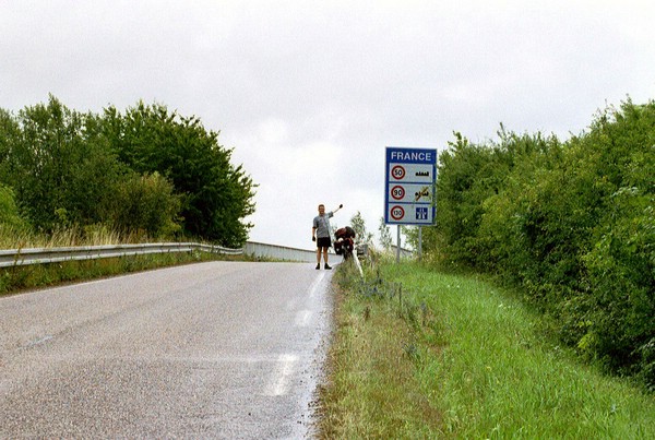
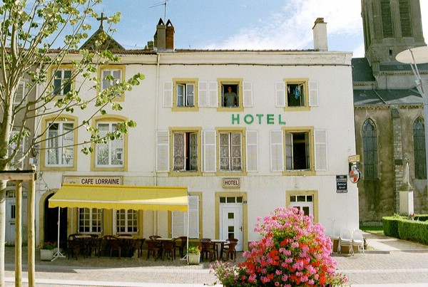
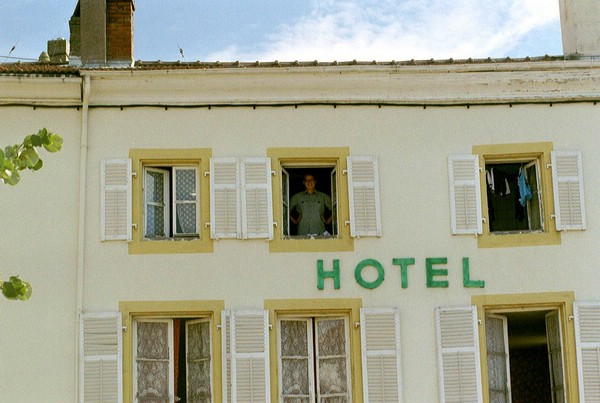
| Day
7: August 3rd, 2001 Luxembourg City, Luxembourg to Volstroff, France Distance of the day: 90 km / 58.8 mi Total distance traveled: 359.9 km / 223.1 mi |
|
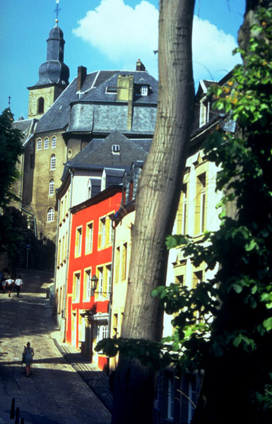
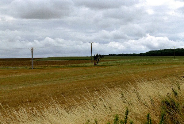
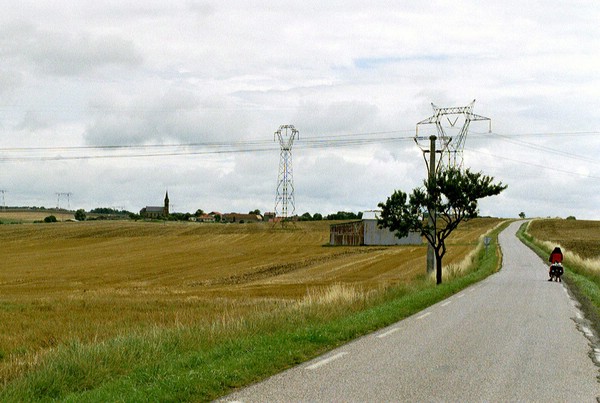
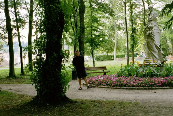
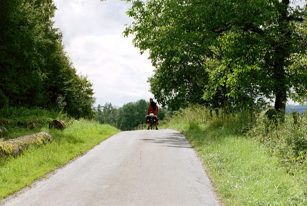
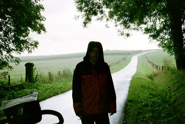
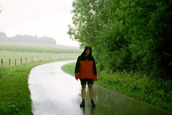
We left the hotel at about 9:30am and it started pouring down rain almost immediately.The city of Luxembourg is set on a mountain cut in two by a deep river valley. The two main sections of the town are linked by a large bridge. To continue on our trip we had to go we had to go down into the valley through steep cobblestone streets through a very old part of town (the picture on the right of such a street is not ours, when we were there it was raining ..). The streets were wet and very steep so we had to walk down them so we didn't fall. After we hit level ground we rode for a while along a beautiful windy path with a river on one side and trees and a mountain on the other. I think it was one of the most beautiful places we biked through on the trip.
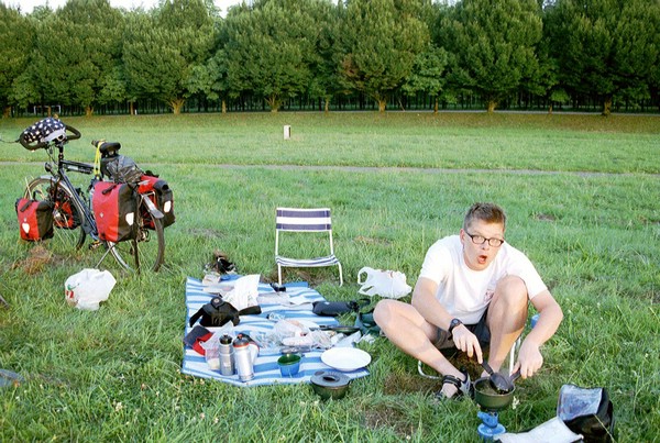
At the mall, we found foldable chairs, and while they weren't the ones we were looking for, Lens settled for them and we headed for Volstroff and the campsite. The journey seemed to be mostly uphill. I was in so much pain (my knee hurt and I was physically exhausted from the stupid wild goose chase we went on) I didn't think we would ever make it. For that day I had physically reached my limit. We made it though. After finding our own spot of grass to set up in, the foldable chairs we had bought earlier were a blessed relief. At first we were
very happy with a great relaxed out of the main area spot. But that night
it was party night at the camping. Our spot turned out be be indirect
line of the party tent. And guess what? Live music was the main thing
at the party. Thank god for the cycling though, we were so tired that
after 2 minutes of getting all annoyed we fell asleep and didn't hear
a thing any more |
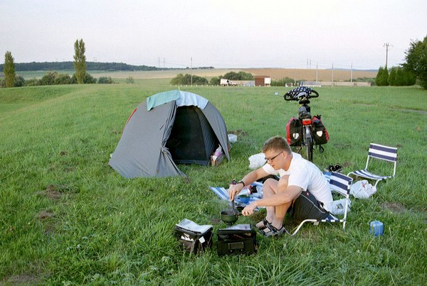
| Day
8: August 4th, 2001 Volstroff, France to Chateau Salins, France Distance of the day: 80 km / 49.6 mi Total distance traveled: 439.9 km / 272.7 mi |
|
When I woke up at
5am for a bathroom run, it started raining, which is probably not a good
sign. At 7am it was still raining and by 9am it had turned into a torrential
downpour. We had no choice but to pack up the bikes and tent in the rain
and head off. By 10 we were ready to go. It stopped raining a few minutes
after we headed out (figures).
The beginning of the day I was REALLY tired and walking up the hills. By lunchtime, however, I had found a better rhythm. At first I walked up every other hill, then I made it up three in a row, then most of them. It's a 'one hill at a time' strategy. Whatever works.
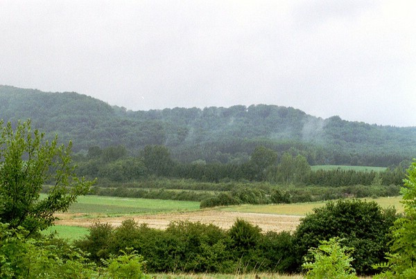
Shortly after leaving Volstroff we stopped in a village and bought brown bread, cheese and salami for lunch. Around 14h we stopped in the village of (can't remember) and had lunch, near to another Dutch couple going the opposite direction. We dried out the tent , bags and ourselves in the warm afternoon sun. The route, while tough, was beautiful today. Everywhere I saw rolling hills in different shades of yellow and green, capped by a blue sky with fluffy white clouds (which is also, coincidentally, the name of a bubble bath slice at Lush).
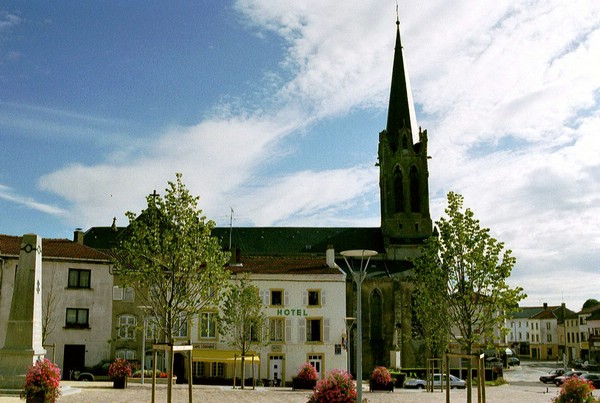
At about 18h we rolled into Chateau-Salins, tired and physically exhausted. We followed signs to 'Centre-Ville' and found a hotel on the 'Place de la Republique'. I think every town and village in France has a Place de la Republique…next to the church, the World War 1 and World War 2 memorial and city hall. We got a room for 120FF, on the top floor in room 10 with 2 beds and a bath! YAY. My muscles are sooooo excited. Dinner proved to be a challange. There were 2 places in town which we tried but all just closed their kitchen as we walking in (was this our first taste of the french 'caracter'?). We ended up after walink 2 times around the downtown area in a sort of snack bar which was thank full for our business. The steak we ordered was even fetched from the house across from the terras were we sat (quite skillfully yet we still some them do it 8-). In all it was an other great day way a bubblelishes ending.
|
| Day
9: August 5th, 2001 Chateau Salins, France to Luneville, France Distance of the day: 40 km / 24.8 mi Total distance traveled: 479.9 km / 297.5 mi |
|
Today was an easy day after yesterday's long and hilly trek. We woke up, as usual, at 7am and lay in bed until about 8. Then we each took a hot bath (heaven!) and headed downstairs for petite dejuner, which consisted of Coffee or Tea and white bread with butter and apricot jam. Since it was Sunday and nothing else was open, we appreciated the feast. Not the ideal breakfast to start the day cycling on, but it was something. Around 10:30 we rolled out of town…well, went uphill anyway. The climbs began almost immediately and though it was dry (YAY!) we were riding up hill against a Strong wind.
When we got to Bezange le Grand, a puppy that escorted us through the village greeted us. He was playing and running next to our bikes until he got home. At the bottom of the hill we sat on a picnic table made entirely of cement and rested there, next to the jou de boules court and across from the church (probably called the place de la Republique).
When we arrived at the campsite in Luneville it was about 15h. We stopped first to have lunch, and then went to the campsite, a few stretches of grass at the bottom of a hill, with a park and chateau above it. We set up, showered then went to the park to walk around. The chateau had some lovely gardens, so we walked around a bit. At the pavilion in the park was a group of Russian folk dancers (what is it with folk dancers?) performing, so we watched for a while then had a crepe with Nutella (chocolate hazelnut paste) as a snack. That was hands down the best snack on the trip. In the evening neither of us felt well, I think the kilometers were catching up to us. We decided to take an easy 37km/22.9mi ride to Charmes the next day.
|
| Day
10: August 6th, 2001 Luneville, France to Darney, France Distance of the day: 89 km / 55.2 mi Total distance traveled: 568.9 km / 352.7 mi |
|
Near the end of the ride the sun started shining and I was singing to the cows as I rode by- Van Morrison and Sarah McLaughlin were part of my repertoire. Later on we felt sorry for the cows.
At around 19:30h we reached the campsite in Darney. The grocery stores were closed, so after we set up camp and showered we ate ravioli. We talked a bit with the dutch neighbours who had just arrived from Austria. After we went to bed exhausted. |
Copyright 2001-2002 Maarten
& Lori Lens-FitzGerald